
English · By MundoGood · October 3, 2026
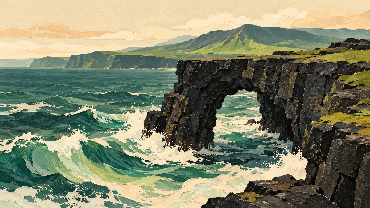
AI-generated historical conceptual illustration inspired by Holei Sea Arch; not a photograph or depiction of its current condition.
Hōlei Sea Arch is no longer standing. For visitors planning a stop on the coast of Hawaiʻi Volcanoes National Park, the important change is more than a missing photograph: the surrounding cliffs remain dangerous, and the former landmark must not become a reason to enter a closed area.
What officials have confirmed
In its October 1 news release, the National Park Service says the approximately 90-foot arch was standing on September 23 and had fallen into the Pacific by the night of September 27. Officials do not know the exact time of collapse. They mention the park’s temporary closure during Tropical Storm Nolo as a possible period when it occurred, not a proven cause.
The release also describes years of instability: earthquake damage in 2018 and cracks that led to closure of the original viewing area in January 2020. NPS warns that people entering the closed area endanger themselves and potential rescuers. Its instructions are to remain outside closures and away from unstable cliff edges.
Why a lava arch can disappear
The coast is a landscape under construction and demolition at the same time. Lava builds new rock; waves subsequently attack it. In its explanation of sea-arch formation, NPS describes how erosion cuts caves into cliffs and gradually opens arches through projecting rock. The sculpting does not stop when the result becomes picturesque.
That is a useful way to interpret an older photograph. An arch is a stage in the coastline’s evolution rather than a permanent structure. Once its bridge fails, remnants may persist as a sea stack, but a general geological sequence does not establish the exact configuration or safety of this particular site today. The collapse should not be treated as an invitation to inspect fresh rubble.
Check access before committing to the drive
Use the park’s Alerts & Conditions page, then follow current signs and ranger directions on arrival. That page also links to construction updates, air-quality information and volcanic-status reporting. A collapse announcement is not a comprehensive list of every road or trail closure, and an older attraction description cannot establish that a viewpoint is currently accessible.
For itinerary planning, remove “see the standing arch” from the day’s expectations. If a particular coastal stop was the main reason for the trip, ask park staff which designated viewpoints are open before heading down. Avoid substituting an unofficial walking route found in a social-media post. An image can show where someone went without showing whether access was permitted.
Prepare for a remote coastal excursion
The official Chain of Craters Road guide lists the road as 18.8 miles to its end and says there is no food, water or fuel along it. Cellular service is limited. It identifies an emergency phone at the Puʻuloa petroglyph trailhead and vault toilets at Maunaulu and the road’s end.
The practical consequence is straightforward: sort out water, food and fuel before setting off, save essential route information, and allow enough time to return without rushing. This is not a quick urban viewpoint stop with a shop around the corner. If traveling with a group, agree on the day’s turnaround point and meeting plan before connectivity becomes unreliable.
Make safety part of the photograph
The park’s broader safety guidance calls for marked, open trails, sturdy closed-toe footwear and caution around cracks, uneven lava and coastal surf. It also notes rapidly changing weather and the need to check air quality in a volcanic environment.
Choose a photograph from an authorized place, even if it looks different from the image that inspired the trip. Keep attention on footing rather than walking while looking through a screen. Stop at designated viewpoints instead of letting scenery distract the driver. If a barrier prevents a familiar composition, the photograph needs to change, not the boundary.
The coastline still tells the story of Hawaiʻi’s changing geology. Visiting responsibly means letting the newest chapter be understood from a safe distance, without turning uncertainty about the ground into a personal experiment.
By MundoGood, with AI-assisted research and writing. Primary sources checked October 3, 2026. This guide is based on official reporting, not an on-site inspection; access and conditions can change.